Archive for the ‘Julie’ Category

“Let’s go on a run,” I said: notes from a morning adventure run to the Montiggler Seen/Laghi di Monticoli

Posted by julie on Wednesday, 13 February 2019, 8:32

“The elevation of the lakes is only 500 meters,” I said. “It shouldn’t be snowy anymore,” I said. And yet…

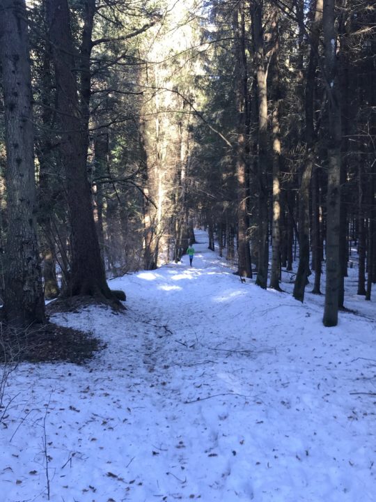
This is what Chris looked like for most of my run: a bright green blur far up the trail.

And yet I underestimated the power of a good forest in shading the snow and preventing melting—and it was largely a deciduous forest, scattered through with just a few pines and firs. It snowed a full 10 days ago, after all; and it’s been pretty sunny since then. But yesterday’s adventure run turned out to be a different run than the one we’d originally planned. And, really, that was fine, because my husband would never complain about any run in the woods—or any morning spent together.
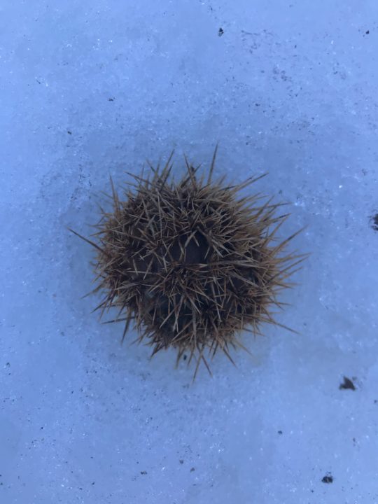
Castagna!
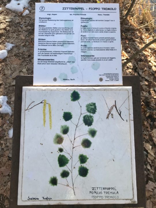
 

Populus tremula. European aspen.

Once the kids were off to school, we hopped on the next train headed south. We got off just a couple of stops later, in Bronzolo/Branzoll, where Chris found—on his amazing, free Südtirol2Go app—that in just a single minute, we could board a bus directly to the trailhead. Just let that sink in for a minute: we walked to the train station, got on a train, then took a public bus directly to our trailhead, which headed up some stairs alongside someone’s immaculately-kept house before diving into the woods. And that whole trip cost us just a few cents (really a few cents—like a quarter).

As our time in Bolzano hits its downhill slide (we’ve been in this apartment for five months, and we’ll be out in another four), I’ve begun thinking of the things I’ll really miss about being here. Taking public transportation (trains, buses, and funivias) directly to trails tops my list. Trails here nearly always connect directly to a train or bus line; the trails are so plentiful that, even in a decade of trail running directly out of Bolzano, I could probably not run all of the trails. Plenty of trails radiate from the funivias, too; who doesn’t want to take a gondola to their Sunday afternoon hike?
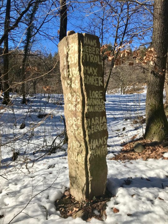
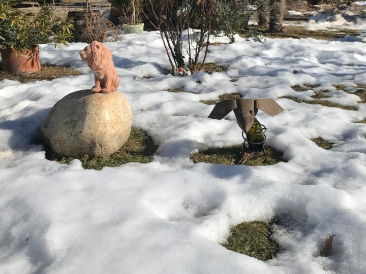
I’m pretty sure we stumbled upon an old graveyard? Maybe?
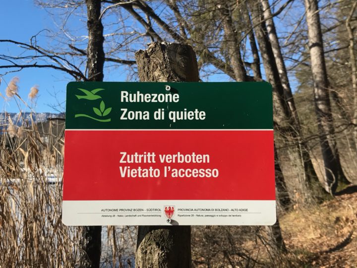
 

Ahhhh.
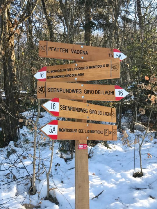
 

Gorgeous new trail signs.

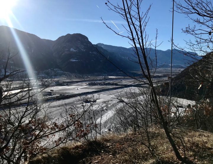
But, anyway, back to the icy, snowy adventure run: The first, quick 250-meter climb, through an east-facing oak forest, was melted out. I slipped and slid on dry oak leaves covering the steep trail. Chris left me in the dust.

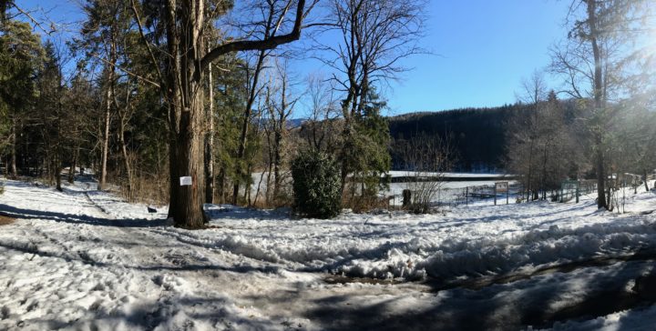
And then we hit the snow. As soon as we topped out on the ridge, snow glowed blue on the forest floor, cooling the air and slowing our steps. Each warm day, the snow had melted, then it refroze into a slick crust at night. We were left with a slippery trail, perfect for knocking middle-agers on our butts. Forging through the snow on the trailside was safer, though it meant breaking through a crust, dampening our feet and irritating our shins.

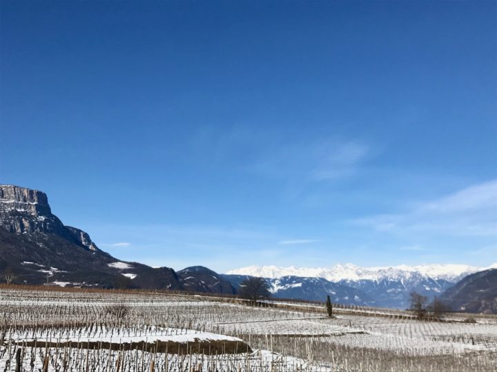
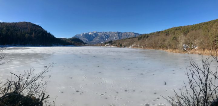
It slowed us down, but that was probably a good thing, because the day was truly glorious. The Montiggler See/Laghi di Monticoli are these little gems tucked into the forest, ice-covered now but undoubtedly swimming magnets in the summer. Birds were everywhere, warming up in the balmy breezes. The sun was out, the sky was blue, and no one was on the trails but us. We found brand-new trail signs, jury-rigged bike jumps, and even an impeccably-maintained 12-seat church (it is Italy, after all), once we’d entered the village of Colterenzio/Schreckbichl, which is currently blanketed with a patchwork of wintry wineries. If this run were snow-free, it’d be fast and easy, with the added bonus of a dip in a lake!


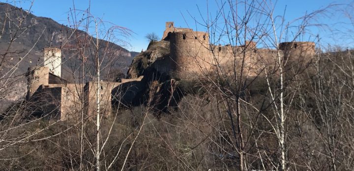
And then, I came around the corner to this. This castle, Schloss Sigmundskron, has an interesting history. Currently, it is the centerpiece of the mountaineer Reinhold Messner’s Mountain Museums. It was built before 1000 A.D. and then owned by a variety of princes and earls through the centuries. In 1957, it was the location of the Südtirol’s largest-ever political demonstration, of 30,000 people, demanding independence (from Italy) for the Südtirol. The Südtirol is now considered an “autonomous area” of Italy, which means that it has greater self-government and pays a smaller portion of its taxes to Rome than other Italian provinces.

And then it was over. We passed over the Ponte Adige and ran directly into the train station. Almost 8 miles. We sunbathed in February on a glorious wooden bench while waiting ten minutes for the next train.

I will miss this. Mornings running through the woods with Chris, the next train just ten minutes away. Always an adventure.
A Running Playlist

Posted by julie on Sunday, 19 October 2014, 21:19
56225624-IMG_3890

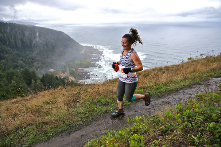
Oregon Coast 30K. Photo by Glenn Tachiyama.

Because I was severely under-trained for my 30K trail race yesterday, I developed a running playlist of songs that I hoped might help me power through. On the last 2.5-mile uphill slog, this list definitely helped:

  1. We No Speak Americano, Yolanda Be Cool & Dcup
  2. Beautiful Day, U2
  3. Just Can’t Get Enough, Depeche Mode
  4. Around the World (la la la la La), A Touch of Class
  5. Pompeii, Bastille
  6. Heat of the Moment, Asia
  7. Stacy’s Mom, Fountains of Wayne
  8. Boom Boom Pow, The Black Eyed Peas
  9. Pour Some Sugar On Me, Def Leppard
  10. Low, Flo Rida (feat. T-Pain)
  11. Without Me, Eminem
  12. Dynamite, Taio Cruz
  13. Little Talks, Of Monsters and Men
  14. Wake Me Up, Avicii
  15. Say Hey (I Love You), Michael Franti & Spearhead (feat. Cherine Anderson)
  16. Glad You Came, The Wanted
  17. SexyBack, Justin Timberlake (feat. Timbaland)
  18. Timber, Pitbull ((feat. Ke$ha)

Because I borrowed liberally from other folks’ running playlists, I thought I would share this list, in case you’re wandering around the web, searching for music inspiration for a tough run. This list comprises about 67 minutes of music. I’m on the lookout for some good stuff to extend it a few more hours.

Birthday Ride (only a week late)

Posted by julie on Friday, 13 June 2014, 12:20
IMG_2632

Doesn’t he look like he’s adjusting the camera and getting ready to show you how awesome the place is where he is? He’s right.

Kids’ lunches packed? Check. Air in bike tires? Tire patch kit? Sport chews that are really candy with salt in them? Check, check, check. Kids’ swimsuits in their backpacks? Check. Phone numbers in cell phones for YMCA (where both kids will be by 1 p.m.) and kind friend who agreed to shuttle boy-child to YMCA? Yupper. Caramel latte for the mom who’s given up caffeine? Do you have to ask?

And we were on the road by 9 a.m.! Date birthday! Life is so good.

Aided by my caffeinated caramel latte, I chatted for the entire drive up the McKenzie River, my patient husband nodding and agreeing and even offering opinions every now and then. We started the bicycle part of our adventure at White Branch Youth Camp, site of many near-misses while snow tubing with fellow grad students in the late 90s. I have no idea how we survived that CCC-era ski slope converted to a tubing hill. So steep and fast and icy! White Branch is about four miles, and nearly 1200 vertical feet (at 2440 feet), below where I’ve started this bike ride up to McKenzie Pass on the old McKenzie Highway before. So help me.

SONY DSC

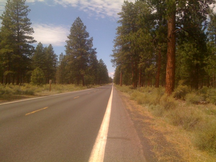
While those first 1200 feet and four miles were rough, after I relocated my (daughter’s) backpack from my back to my handlebars and lay stretching on the asphalt, my journey improved dramatically. From Alder Springs Campground—where the second snow gate was still closed, thus ensuring a car-free journey to the Pass—the road hairpins through tunnels of Douglas fir, hazelnut, western hemlock, and sword ferns, climbing 1100 feet in the next five miles. We had run into my friend and sometimes adventuring partner, Suzanne, and her friend, Bruce, who’d started a few miles below where we started. Powered by catching up, Suzanne and I forgot about the hills. Once we reached the top of the switchbacks, the last seven miles, which climb 700 feet to the Pass, felt like a cruise. The road opens up into long, open straightaways punctuated by small climbs past meadows, vernal pools, and trees getting progressively shorter.

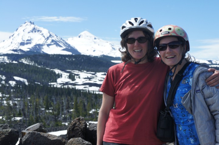
Then, there’s the lava, flows from Belknap and Little Belknap Craters that created the strange and lumpy landscape of McKenzie Pass. We passed lava tubes and nunataks—islands of forest the lava flowed around. In the last couple of miles before the Pass, views open up to North and Middle Sisters, just 6 miles southeast of the highway.

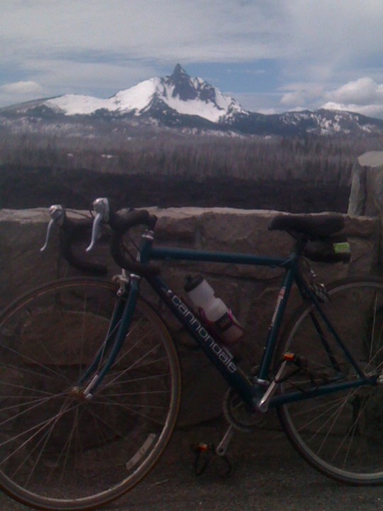
Around the corner, we reached Dee Wright Observatory, which is really a fairy castle constructed of lava. That meant we were at the Pass and I could eat more “sport chews” and stretch my back again. There was a rotating cast of perhaps 15 cyclists at the Pass while we were there, including three preschoolers and a Kindergartner whose strong dads had pulled them up the hill. I’m so soft.

SONY DSC

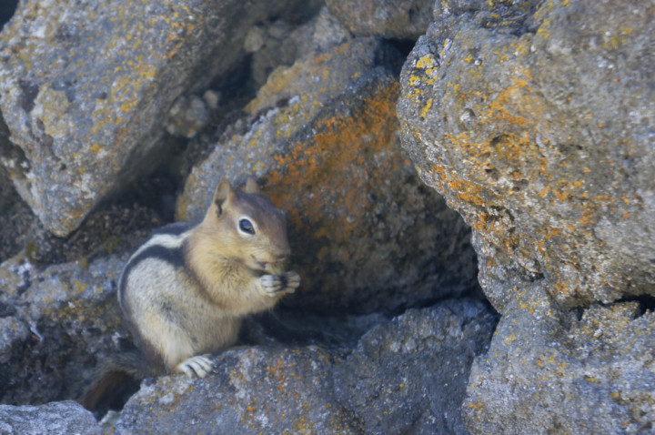
After some ground squirrel photos and a divine cheese plate (well, gnawing on a hunk of cheese and taking bites of crackers tastes like a divine cheese plate when you’ve earned your lunch), we re-helmeted up for the ride down. Downhill! While my mortality weighed on me as I squeezed my brakes around the first few turns, I eased into it, and pretty soon 30 mph (more?) felt thrilling rather than terrifying. One or two of Chris’s spokes broke on the ride down, and Suzanne’s brake pads were shot, so the two of them limped back down while I was able to completely appreciate the wind whistling in my helmet. I reached the car first, but my dear husband suggested I keep riding, that he’d eventually pick me up. Our relative speeds were so similar that he didn’t catch me. I stopped because I reached Highway 126 and didn’t want to ride with more and faster traffic.

SONY DSC

Chris drove home until he said, “I’m tired. Wanna drive?” He was snoring in the passenger seat before I started the car.

Communicating with our Congresscritters (or: A picture is worth a thousand howls)

Posted by jonesey on Thursday, 26 December 2013, 19:32

A couple of weeks ago, Julie and I went to the Cascadia Wildlands Project‘s annual big party and auction. All the hip(pie) nature lovers were there, and we ended up with a huge, beautiful photograph of old-growth trees in Oregon’s Elliott State Forest.

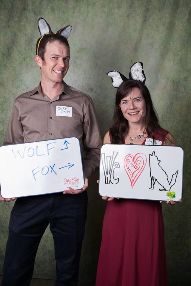
There was another kind of photography happening at the auction as well. A professional photographer was taking photographs to send to our Congresscritters and various other folks in D.C. who are laboring under the benighted impression that removing wolves from the Endangered Species List is a good idea because there are a few dozen of them around and everybody loves them (right?). CWP even had little whiteboards we could hold up with pre-fab messages about how cool and valuable wolves are. You can see some of the photos here (PDF, scroll through a few pages to get the idea).

Those of you who know me know that I like to make my own signs (someday I’ll dig up and scan a photo of me protesting at the Wall Street Journal in the early ’90s with a handmade painted sign depicting a generic conifer with the word GOOD under it) rather than run with the pack. I only had a few seconds, though, so this is the best I could do:

Photo of a wolf and a fox

Truth in advertising

Mountain #26: Mount Defiance, Columbia River Gorge, Oregon

Posted by julie on Sunday, 11 August 2013, 14:29

Mountain #26: Mount Defiance (4960 feet)
10 August 2013
Mileage: 12 miles
Elevation gain: 4800 feet
Time: 3:20 to summit, an hour on top, 3:20 down, with a stop at Warren Lake
Temperature: humid, around 70
Partners: Brian Hamilton, Maisie and Kenzie

Do NOT attempt this hike without Tecnu! (and, okay, a strong heart)

I don’t know what gave me the bee in my bonnet to try out this hike, but once I saw that it has a 4800-foot elevation gain, I was determined to hike it. Mount Defiance. 4800 feet up. Six million-year-old shield volcano (according to web research; take with a grain of salt). Gotta have some of those in my 40-mountain year. Brian was willing to try it out with me, and, since his dogs wanted an outing, too, Brian even offered to drive. So, he picked me up at 6 a.m. (actually 5:55. Unlike me, he’s never late.), and we drove up to the Columbia River Gorge, to the Starvation Creek Trailhead, which has its own exit off I-84.

We were on the trail by 9:03 (or so). The first section of trail runs back west along the Jersey barriers lining I-84, then it ducks down into the woods on the Historic Columbia River Highway. Quickly, we passed three waterfalls: Cabin Creek, Hole in the Wall on Warren Creek, and Lancaster Falls, where we met the Starvation Ridge trail. We continued up the Mount Defiance trail (#413).

The trail traveled west along some rocky slopes (natural talus or the result of I-84 construction?) with challenging footing, lined with poison oak, then it turned seriously uphill and into the trees. The first 1400 feet of elevation gain happen fast on this trail. Switchback after switchback. I felt great, though. All of the hikes last week with Leslie (all of my previous 25 mountains this year!) helped, and Brian eventually said to me, “Okay, I’ll meet you at the junction with the trail to Warren Lake.” I must have seemed like a springer spaniel puppy right then, eager and energetic.

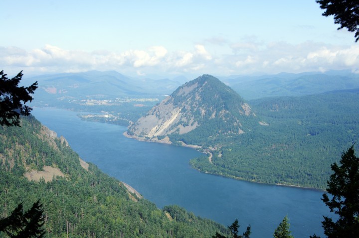
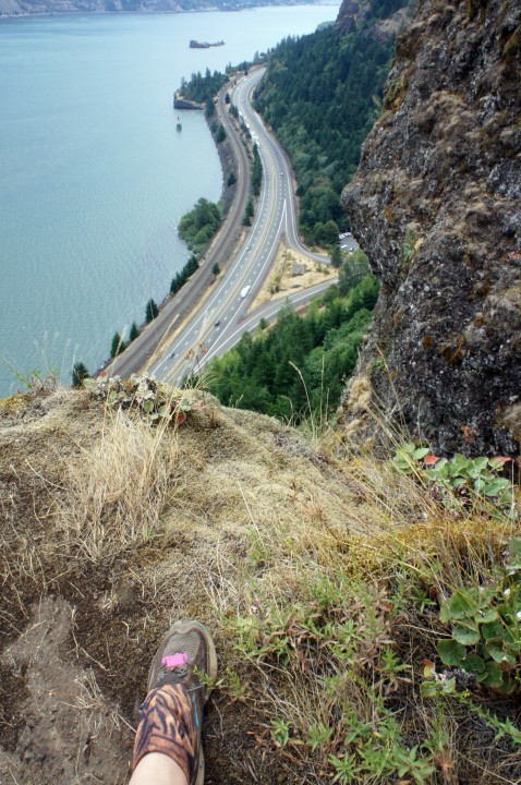
Down the Columbia from the Mount Defiance Trail

So I bounded uphill, not rushing but not stopping, quickly becoming soaking wet with the exertion and the day’s humidity. Eventually I passed Marc and Keith, two trail runners; but not much running can occur on this section of trail. Shortly, Marc caught me; and we chatted as the trail became much more doable. Instead of running, he told me stories about his short-lived military life and adventuring with his wife. From about 2200 feet to 4000 feet, the trail travels uphill in a more reasonable fashion, vine maples filling in the forest understory. There are even some runnable sections of trail. We walked.

After we passed into a sliver of Mark O. Hatfield Wilderness (the summit is again outside the Wilderness), the trail broke out of the trees near some cliffs at about 4100 feet. The mist glided up over the cliffs. We moved into the trees, which at this point felt very alpine. The trail became talus-y, purple penstemon sprouted from between the rocks, and we found many ripe huckleberries! We saved at least a few for the next folks to pass.

We headed past the junction with the trail that leads east to Warren Lake, then we took the unlikely-looking trail that travels around the west side of the mountain at the next junction. That trail was quite rocky, so the going was slow, but we had great views of Mt. Adams and Mt. St. Helens. Our steps sounded musical as we clinked the fist- and foot-sized rocks together under our feet. We hit one more junction at the south end of the mountain, then headed uphill to the summit, where we found five other people and a whole boatload of radio towers and associated paraphernalia. There used to be a fire lookout up there, too. There still is four-wheel drive road to the top. The folks at the summit told us we’d just missed an ultrarunner who was summiting Mt. Defiance four times today, from the bottom. She was training for a race in the Alps. Brian later said she blew by him when he was at the trail junction to Warren Lake.

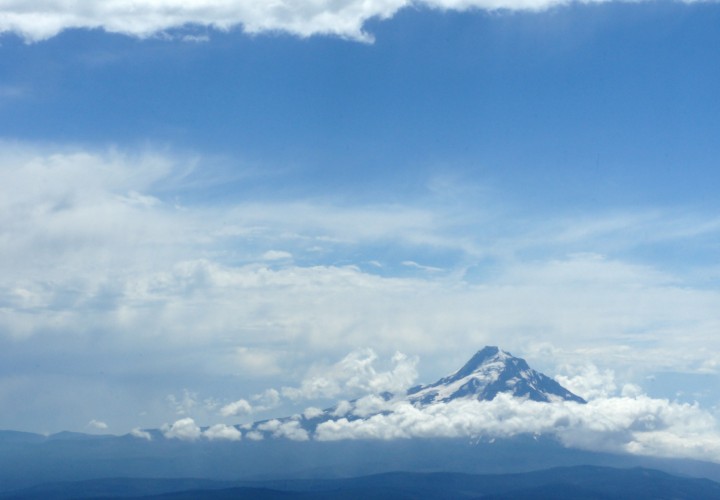
Mount Hood

Marc and I took some photos and got some calories in. I was hoping Brian would join me at the summit, because it has great views of Hood and nice boulders for resting. Just as I was feeling like I should probably head down to meet Brian at our scheduled meeting spot, a hiker asked if I was Julie. He proceeded to tell me that Brian was right behind him. Kenzie, Maisie, and Brian summited, and Kenzie and Maisie even begged some beef jerky out of the very nice man who’d heralded their arrival.

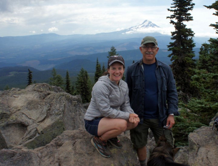
Julie, Brian, and Kenzie atop Mount Defiance, with Mount Hood in the background

Then we headed down off the north end of the mountain; and we proceeded down to Warren Lake, where the dogs were very happy to go for a swim, lap up some water, then roll in the dirt. At the next trail junction, we headed left and north down a lovely mellow section through large conifers with huckleberry understory. After we passed through an old, growing-back clearcut rampant with magenta-blooming fireweed, we ran into the ultrarunner, heading back uphill—the correct way on the loop, as it turns out. With some research, I found out she was Amy Sproston, no slouch in the ultrarunning world.

And, just as I was beginning to wonder what everyone meant about the steepness of this trail, we joined the Starvation Ridge trail, #414, and plummeted down along the ridge. The gravel turned to ball bearings under my shoes more than once, bouncing me onto my bum. I don’t recommend this as a descent. It would be straight uphill the other way, but I’d surely prefer that. I do recommend the trail, especially at the bottom, but not for kids or dogs (and definitely not without Tecnu; I’m hoping for the best). Near the end of the ridge, the trail breaks out of the trees and hangs over I-84, switchbacking tantalizingly close to the edge. The trail through the meadow is lined with poison oak. Then, with a quick descent through some trees with more ball-bearing trail, we were back on the Historic Columbia River Highway.

Please don’t take your children or dogs or unstable house guests on this trail

I bathed in the bathroom, grateful for soap and water, paranoid about urushiol. Three hours and a stop at Burgerville later (Walla-Walla onion rings, cherry-chocolate shake, halibut sandwich!), and I was home! Thank you, Brian and pups, for a fun and successful day.

Will Those Teeth Really Fit?

Posted by julie on Thursday, 17 January 2013, 9:46

Will all these enormous, grown-up teeth really fit into this little mouth? Sylvan’s fingers are blue from his forensic science Daring Boys Club. His eyes are bloodshot from skiing this weekend (I need to buy him larger goggles; his head is too big for kid-size ones. That big brain that reliably beats most grown-ups at chess has to fit somewhere.)

While Sylvan was losing his fifth tooth and picking an Army duck from the secretary’s supply for birthday and missing tooth kids, Leslie and I ventured up to Marys Peak, the highest mountain in Oregon’s Coast Range.

You probably won’t see much in this photo, other than the ocean of clouds covering the valley. That’s Mt. Jefferson to the left, and the Three Sisters to the right, at the horizon in the Cascades. Leslie researched the mirage we saw that distorted the mountains. It was a fata morgana. It made the mountains look STRANGE. We could see Rainier, St. Helens, and Adams up in Washington state. It was an amazingly crystalline day.

We’re above the clouds on a foggy, cold, dank Willamette Valley Day. Yay! I’ve now climbed two mountains of my 40 for the year. Yay! I’m with a fun, adventurous friend. Yay!

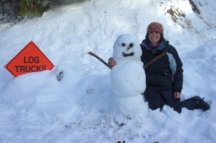
Leslie found this guy at the end of our hike. We’re not sure if he was there at the beginning. Yes, we saw more than one logging truck on the way up to the Marys Peak trailhead.

National Donut Day

Posted by julie on Friday, 1 June 2012, 23:38

Each year, ODOT, the Oregon Department of Transportation, plows through the snow to open up McKenzie Pass to summer traffic. For some short number of days after it’s completely plowed, the snow gates remain closed, making the Scenic Highway an RV-free paved path through the mountains—perfect for bicyclists.

My friend Leslie has been my biking companion every time I’ve made it to the summit from the west side (Chris and I tried it at least one year before the road was completely plowed, and, after slogging through some snow, we realized that we should turn around). Last time, Leslie and I looked at each other and said, “We could go farther, maybe all the way to Sisters. And there are donuts in Sisters…”

McKenzie Pass with North and Middle Sister—before the camera battery gave up and I took the rest of the day's photos with my phone (which I could do while riding, so it all worked out).

So, appropriately enough, on National Donut Day, as I later learned, Leslie and I biked to McKenzie Pass, then cruised 15 miles down the east side into Sisters for a donut and a coffee. We enjoyed our caffeine and calories in rocking chairs on the porch of the charmingly Western, surprisingly Christian Sisters Coffee Company (the donuts came from the not-to-miss Sisters Bakery, whose donuts are always superbly fresh and whose pies look tart and delicious).

Sisters, Oregon ponderosa pine forest. Who needs the Hipstamatic app when my phone takes photos that look like 1977?

After our quick “lunch,” we headed back uphill through the open, butterscotch and ceanothus-scented ponderosa pine forest that led to the higher, mixed coniferous forest before giving way to basalt and snow at the Pass.

That might be iced mocha in my water bottle

After some serious braking down the steep, west, roller coaster side, we re-entered the vine maple and Douglas fir of the wet side and found the van almost too soon. We didn’t hit any deer on the way down, unlike the man we talked to at the Pass who was helicoptered out of this ride a few years ago for doing just that (!).

Leslie didn’t know it earlier today, but she just instigated my longest day on a bike, 54 miles with 4000 feet of elevation gain. But who wouldn’t do that for donuts?

Diamond Peak in May, Take 2

Posted by julie on Monday, 7 May 2012, 14:30

I’ve started my volcano habit early this year, specifically my Diamond Peak habit. I’ve hoped to ski down Diamond Peak for a few years, and yesterday was my day. The weather report said 70 and sunny in town, which boded well for a bluebird day in the mountains.

Seven years ago (!), Chris and I backpacked into Diamond Rockpile, at the south end of Diamond Peak, with him carrying most of the gear and me carrying my belly with a 25-week-old Sylvan inside (photo available here). The following morning, we snowshoed up the south end on a route I’ve taken a few times since, but always when the snow has melted. The route that day was wind-scoured and scary. I was apprehensive about: climbing a mountain with a bean inside me; ever being able to climb a mountain again; and the mostly-melted-out summit ridge, which looked hairy and difficult. We stopped and turned around at that south, false summit seven years ago. Yesterday the summit ridge was a highway, wide and accommodating of the 21 total people we saw on the mountain:

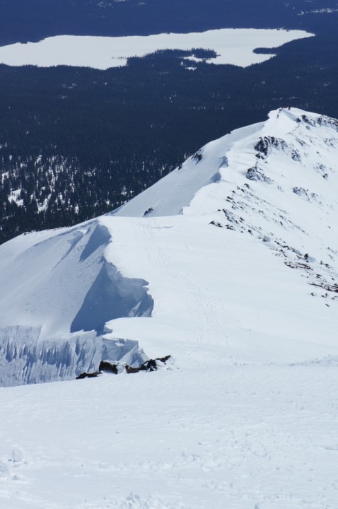
Wide, lovely summit ridge, with group just leaving false summit. Notice the fantastic cornices and the STEEP east side drop. That's Summit Lake in the background, the most heavily mosquitoed place I've ever been - but not in May!

My climbing buddy, Wayne, and I left Pleasant Hill at 6:30 a.m., and, after a short hike from the car up a road not quite passable yet due to snow, we were stepping into our skis around 9 a.m. We started near the Pioneer Gulch trail, but to avoid the walk on snowless trail we walked up the road a little higher into an old clearcut, perfect for finding more snow. After some route-finding for complete snow passages through manzanita and small Doug firs, we got high enough to find more snow, and we were on our way uphill, 4000 feet in four miles.

A prominent west ridge at the south end of Diamond Peak was our, and everyone else’s, route. Climbing skins and climbing wires on my bindings made the climb possible. I did take off my skis for some very steep, 3-4 foot steps that I just didn’t feel confident negotiating with skis on. There was also some rime ice at about 8000 feet for which I de-skied in order not to slide too far down the mountain.

Flags of rime, with Mt. Thielsen in the background

We climbed steadily, and, when we popped out on the south summit, we both agreed that the south slope looked like nice, mellow skiing compared to the steeper bowls, which sounded a little icy at the top whenever anyone skied down them. We skied the summit ridge easily, since it was wide and inviting, staying away from the corniced east side. In no time, we were on the summit, eating cheese and snapping pictures.

Diamond Peak's north ridges, with Willamette Pass Ski Area behind and Mt. Bachelor, Broken Top, and South and Middle Sister to the left (from right to left)

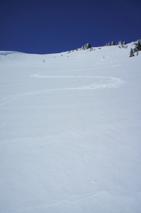
And then it was time for the glorious ski down. Nice softened snow, skiing in a T-shirt, perfect slopes, “adventure” skiing through the trees lower down. Highly recommended.

My turns

Last Road Marathon!

Posted by julie on Monday, 30 April 2012, 23:00

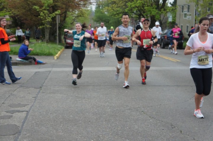
Okay, don’t quote me on that, but I’ve reached my goal of a sub-four hour marathon: 3:58:46 at yesterday’s Eugene Marathon (if you click on that link and enter my name in the search box, then scroll onto and click my name, you’ll find video of me finishing [with my name being announced] and a link to my average cumulative pace throughout the race).

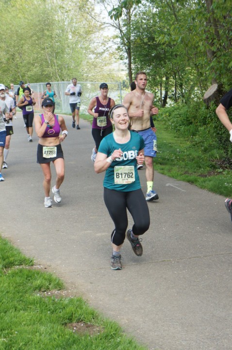
I still felt GREAT at mile 17, regardless of the fact that when I run I look like a windmill (I notice my crazy legs in photos). I ran among my handful of fastest legs in the next mile because of the woman in the bikini behind me. She and her running partner passed me, and I convinced myself that I'd look like that if I ran that fast. It worked for two miles (keeping the pace, not looking like that).

My peanut gallery

I realized the night before the race that I must be getting older because I filled in the emergency information on the back of my race number.

Really, was I possessed by a marionette, or what? Mile 8.

I'm sorry, but there will be no performing for the camera anymore, not at mile 24. From a range of 8:46-9:09 previously, miles 22-25 then crept up to a max of 9:57, at which point I was perilously close to not running under 4 hours. I perked up a bit for mile 26, which I ran in 9:35 (while I said, out loud, more than once, "Push!").

At the end, after weaving a bit upon finishing, I quickly downed two ice-cold chocolate milks and lay on the turf, flat-out, for twenty minutes. Ahhh. Then a full can of Pepsi on the S-L-O-W walk home.

My favorite sign held by a cheering spectator, “I’m proud of you, Complete Stranger.” Runner-up: “Very creative cheering marathon sign.”

The Eugene Marathon is a great marathon to run: flat; lovely; great spots for spectators to cheer; nice T-shirts; plenty of volunteers, food, and water (at least for the four-hour pace). Highly recommended, if you’re looking for your next.

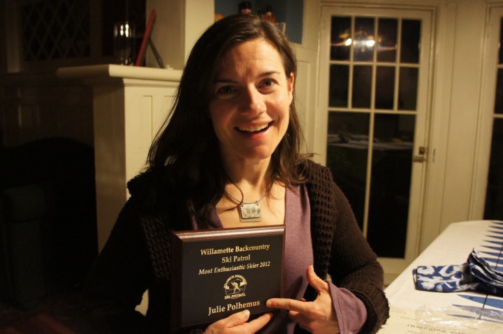
Most Enthusiastic Skier 2012

Posted by julie on Wednesday, 18 April 2012, 23:28

That's right, folks: you're looking at her. I am perhaps prouder of this plaque than maybe I should be, prouder of it than of the academic accolades I've collected over the years. Thank you to a fantastic group of people, people who would make excellent partners on a (nearly) deserted island.